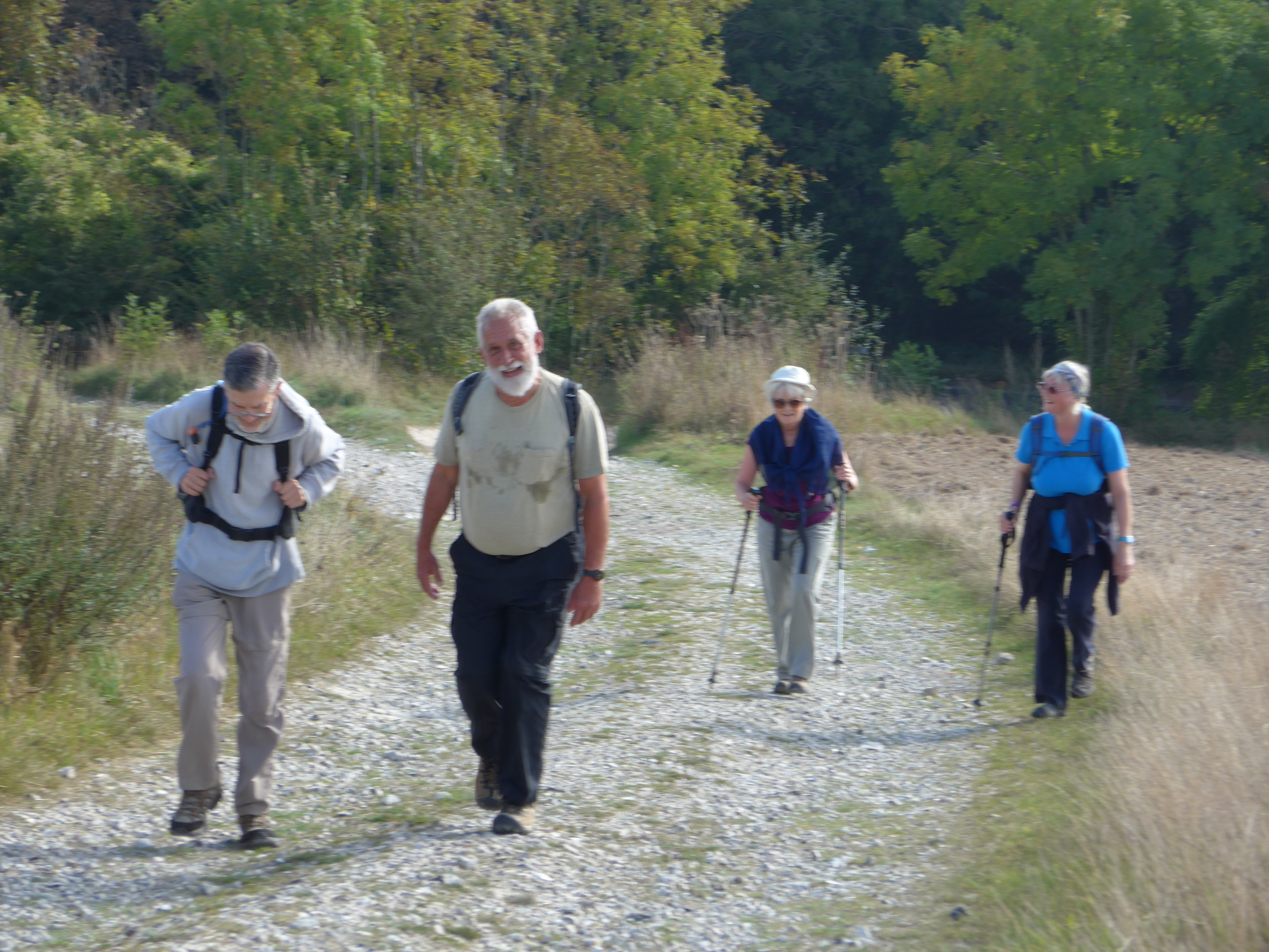
The train from Brighton (coffee and change at Barnham) whisked us back to Amberley in just over an hour and we were soon walking alongside the River Arun and beginning the long chalky climb up towards Bignor Hill on another stunning day.

We paused (right) at the point where the South Downs Way crosses Stane Street, the roman road that links London to Chichester.
But pressed on to cross the lovely Littlemore valley before stopping for lunch at the Teaglaze signpost.
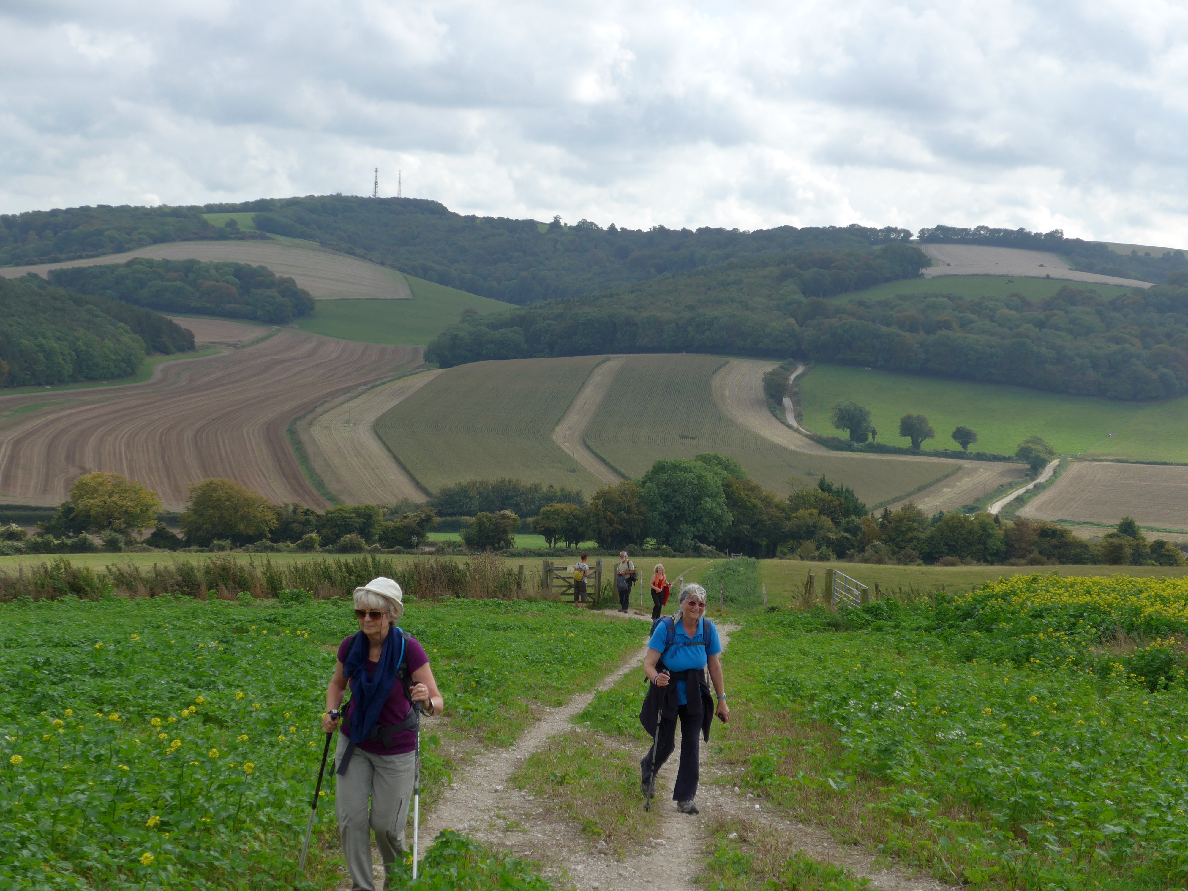


From here on the Way becomes quite noticeably more wooded with occasional glimpses of the views to north and south. Chichester Cathedral and the Isle of Wight should have been visible but it was too hazy.
We forged on across Grafham Down and were all too soon descending from Heyshott down a very well made path to the point where the Way crosses the Petworth to Chichester Road where it breasts Cocking Hill.
Sadly the farm shop at Hill Barn Farm (teas and ices ) was not open for us (Fridays and weekends only the sign said).
But we were half an hour ahead of schedule and so caught an earlier bus than expected to Chichester bus station (20 minutes).
At Chichester we stepped almost immediately onto the Brighton-bound train at the train station on the other side of the road which whisked us all home again.

It was a day when public transport worked well for us. And a beautiful walk that everyone appreciated. We have completed more than half of the South Downs Way and are on our third Ordnance Survey map. Next week we should be finished with West Sussex and walking in Hampshire.
Distance walked: 11.47 miles; height climbed: 1,003 ft

Click here to see live map and elevations.
Walk 1 – Eastbourne to Southease
Walk 2 – Southease to Ditchling Beacon
Walk 3 – Ditchling Beacon to Upper Beeding
Walk 4 – Upper Beeding to Amberley
Walk 6: Cocking to Queen Elizabeth Country Park at Buriton in Hampshire!
