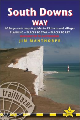
 There are a number of guides to the South Downs Way and we had several at our disposal. The one we chose to use and actually carried with us on the walks was Jim Manthorpe’s South Downs Way published by Trailblazer. The reasons we chose this one were:
- It describes the walk from West to East – our direction of travel
- It is compact and fits in your pocket
- It has a lot of useful detail about the actual trail and services available nearby
- Relevant information is provided on the trail maps so you don’t have to search through the text to find out what you should be looking out for.
It also has a great deal of information that we did not use – about accommodation and restaurants off the SDW for instance. Though we might have done if we had been tackling the SDW in a different style.
Its unique selling point is the series of hand drawn large scale maps of the actual paths you walk on and the features nearby that would probably not be apparent from OS maps.
At first sight these may seem a bit amateurish. But they present essential information in a timely and relevant manner when and where you need it and you almost never have to consult the actual text of the book on the trail. The information and tips provided in this way was quite useful and enlightening at times. It even reminds you to look up and enjoy the view from time to time.
It was not always easy to judge the scale used for the maps or even to be sure if they were actually drawn to scale. Guidance on walking times between features is given in the margins of these maps but the brackets were necessarily pretty wide.

As well as providing a step-by-step guide to the essential elements of the SDW in this way, the book also has chapters on planning your walk, the flora and fauna and conservation of the Downs, safety and minimum impact walking. The route guide suggests nine stages, only one of which (Winchester to Exton) corresponded to the nine stages we chose to walk.
We also thought it advisable to carry the relevant Ordnance Survey maps as back up given the helpful but limited nature of the hand drawn ones in this guide. If you use the 1:25000 Explorer (2.5 inches to the mile) range you need five to cover the SDW. We actually felt the need to consult an OS map on the trail once, using Jim Manthorpe’s guide.
 Paul Millmore’s so-called Official National Trail Guide to the South Downs Way (published in association with Natural England) might well have been our chosen guide if it had been compiled the other way round. But it follows the route from Eastbourne to Winchester.
It does not have the detail or comprehensive information coverage of Jim Manthorpe’s trail guide. The strength of this guide is that it contains the actual OS mapping for every step of the way.
It is a larger format than most other guides – about the same size as a folded OS map in fact.
But you might well feel you need not buy or carry such maps given that this guide reproduces all the sections that include the SDW.

The guide is in three sections: an introduction to the SDW, its wildlife and geology; the guide itself (in eleven stages) and ‘useful information’ on transport, accommodation, tourist information, useful address etc. The blurb also points out that it is “lavishly illustrated with photography throughout”. But as it’s hardly meant to be a coffee table book, that seems a bit beside the point.
It also contains a few circular walks incorporating sections of the SDW.
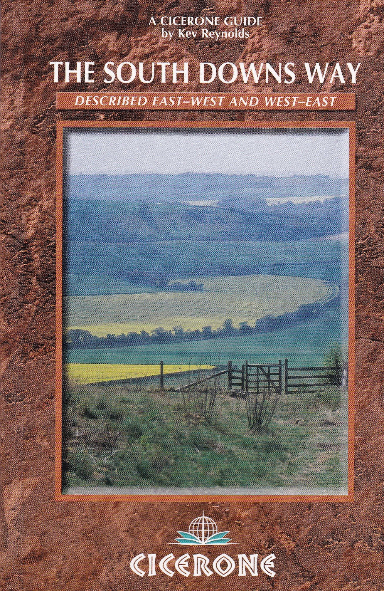 The Cicerone Guide to the South Downs Way by Kev Reynolds is the smallest of the three but manages to describe the route both from East to West and West to East in two separate sections. Though only the Eastbourne to Winchester section contains any mapping. This made it a bit awkward for us as we were walking it in the other direction.
- The book’s small format is excellent for slipping in the pocket. But it also means the type is rather small and the maps rather less clear than in Paul Millmore’s Official Trail Guide which is based on the 1:25000 (Explorer) OS maps rather than the 1:50000 (Landranger) used by Cicerone. Consequently you might not feel inclined to leave your five Explorer OS maps at home when walking with this guide.

As well as giving guidance on the trail to follow and features along the way, Kev Reynolds peppers the text with some of his actual experience of walking the SDW (see the italic section in the sample above at the bottom of the right hand page).
It also includes jolly little pen pictures of places along the Way (“Exceat was once a flourishing village until the Black Death virtually wiped it from the map…” perhaps makes you not mind so much when you find the teashop closed early).
But on the whole we wanted to walk the SDW not read about it.
South Downs Way by Jim Manthorpe 4th Edition Trailblazer Publications 2012 ISBN 978-1-905864-42-3 price £11.99 (£8.39 inc postage from Amazon). Be sure to get the latest edition.
South Downs Way – Official National Trail Guide by Paul Millmore Aurum Press 2012 ISBN 978-1-78131-088-5 price £12.99 (£9.09 with free delivery Amazon).
The South Downs Way – A Cicerone Guide by Kev Reynolds, Cicerone 2009 updated 2012, ISBN978-1-85284-429-5 price £12.95 (£9.07 with free delivery Amazon)
Online guides to the South Downs Way:
Long Distance Walkers Association
The Ramblers Association Guide to SDW

Ordnance Survey Maps
If you use the 1:25000 Explorer range (2.5 inches to the mile) you need five map to cover the SDW:
132 Winchester
120 Chichester
121 Arundel & Pulborough
122 Brighton & Hove
123 Eastbourne & Beachy Head
 If you use the 1:50000 (1.25 inches to the mile) Landranger range you need four maps to cover the SDW:
185 Winchester & Basingstoke
197 Chichester & South Downs
198 Brighton & Lewes
199 Eastbourne & Hastings
But for most of the way the SDW is so well signposted that you need neither map nor guide. Provided you keep a careful eye on the waymarkers (some blue bridle path markers are very similar to the blue SDW markers) it is probably feasible to complete the SDW without either map or guide.
