Our aim in 2013 was to walk the SDW in a series of daywalks. One walk a week, not all in one go, day after day. But first we had to work out:
 Whether to walk East to West or West to East:
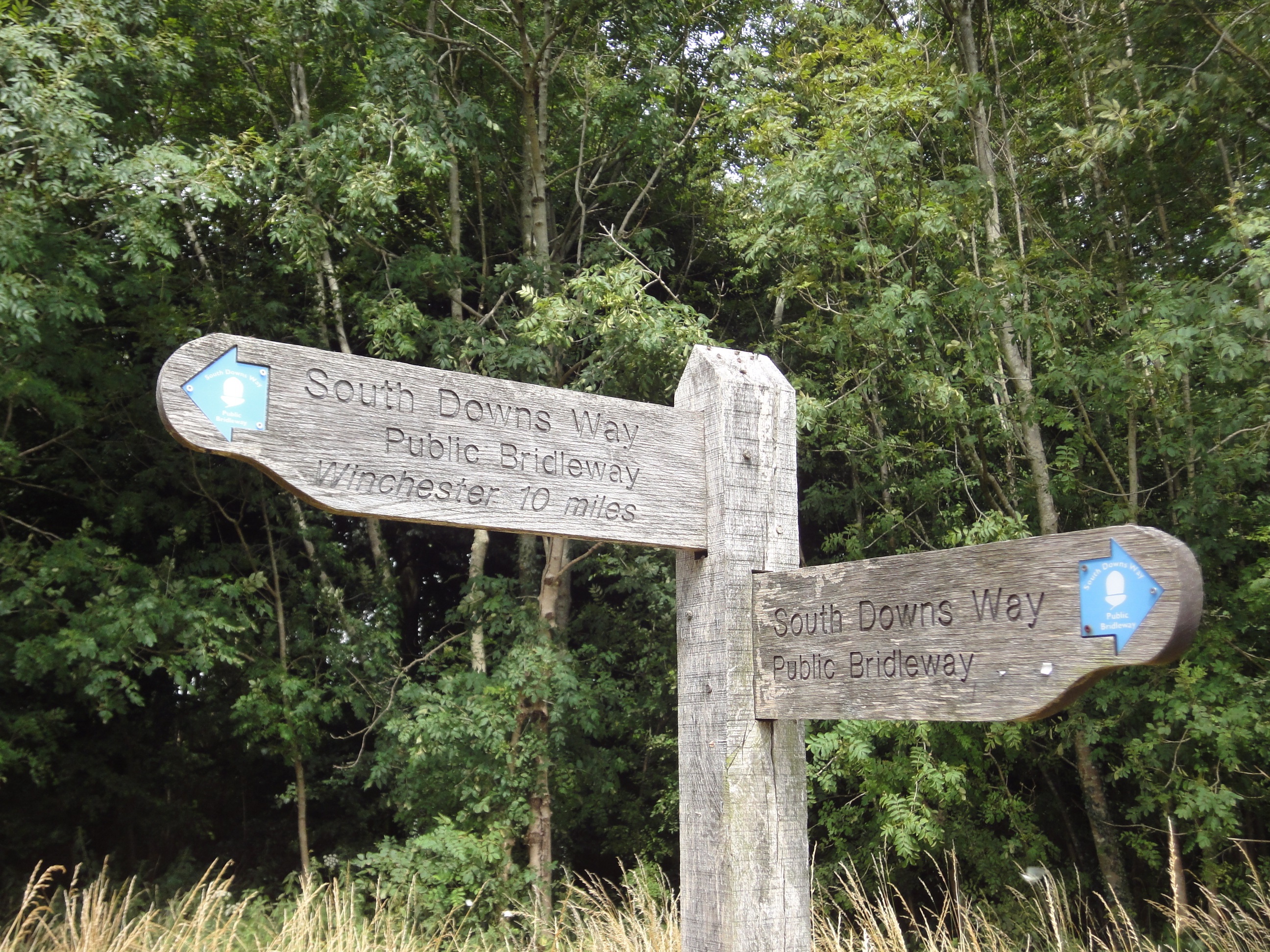
We chose to start from Winchester in 2013, the end that was furthest away from us. The reasons for this included:
- the prevailing wind would be behind us (which proved vital on some days)
- and we would get the longest and most awkward journeys to the starts and finishes of walks over with while we were still enthusiastic.
As things progressed, getting to and from the walks became easier which was important for us as we planned to walk from September to November when daylight hours were becoming shorter and the weather more wintry.
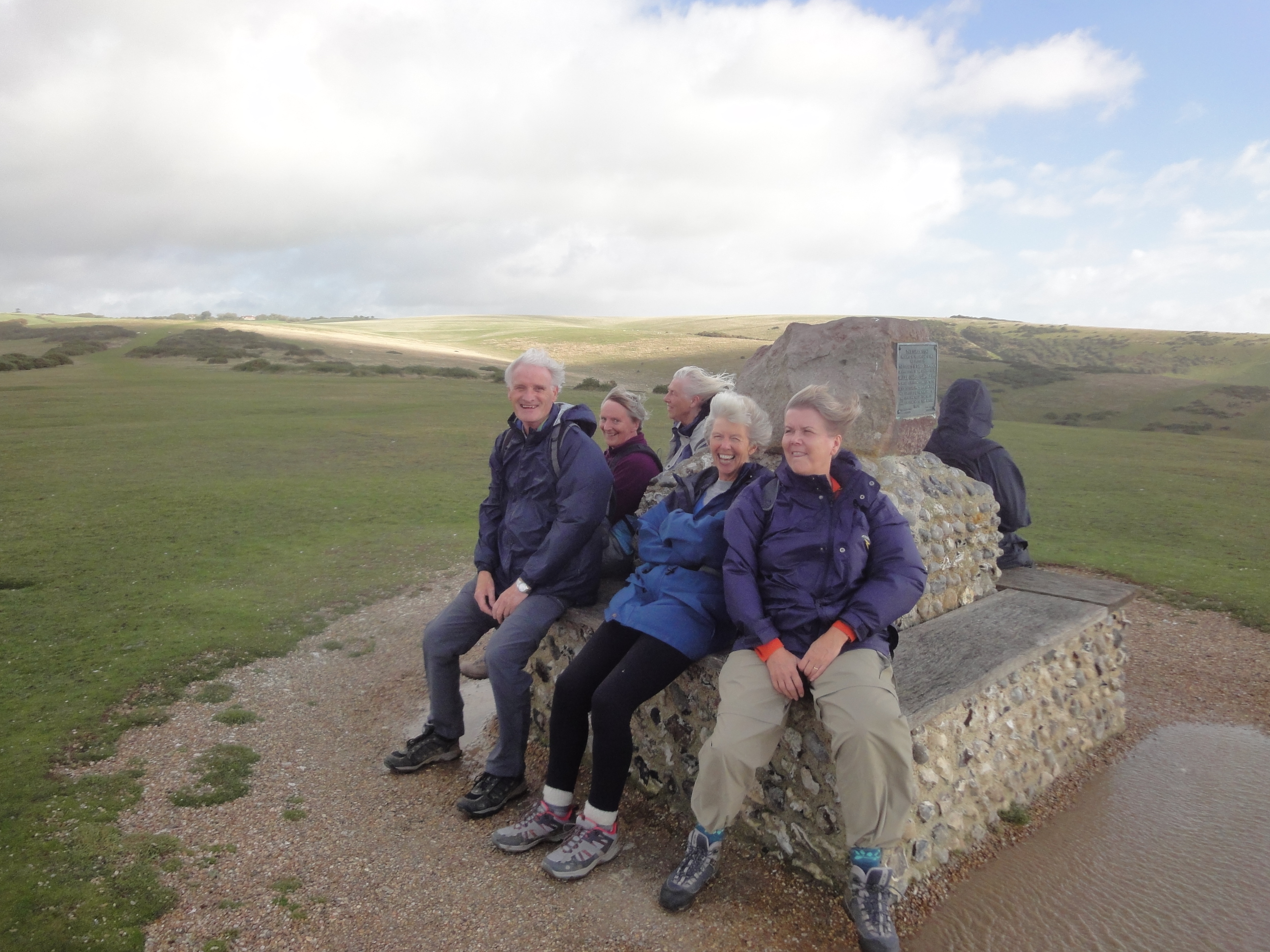
 Maybe we would have taken a different view on the direction of travel if we lived within easy travelling distance of Winchester. If you live midway, you might be tempted to walk it it in both directions from the middle rather than end to end. There was a great satisfaction in doing it sequentially and having a celebratory cream tea at Eastbourne on the last day.
We also chose to tackle the first two segments (Winchester to Exton and Exton to Queen Elizabeth Country Park) as a two-day walk, staying overnight together in a hostel. This got the most awkward and furthest flung walks polished off and staying together overnight, eating together etc had a valuable bonding effect on the group and raised morale right from the start.
How to organise transport to and from the walks:

In 2013 we used enough cars for each walk to enable walkers to be placed at the start and to be collected at the end. How we did this varied from walk to walk because we did not want walkers hanging about getting cold and possibly wet in car parks while cars were transferred to or from the start point. So we used strategically placed teashops and cafes either to provide shelter and refreshment while cars were transferred from the start to the end of the walk or at the end of the walk while cars were recovered. But we were also fortunate to have a few non-walking drivers who kindly provided lifts to starts so cars would not need to be recovered at the end of the walk (which would have meant in the dark as walks stretched into October and November).

In 2014 and 2015 we walked the SDW in the other direction, from east to west, relying more on public transport to get to and from walks. We managed this for 6 of the 8 walks but the final walks entailed an overnight stop at Wetherdown Lodge hostel for which cars were necessary.
How long should each walk be?
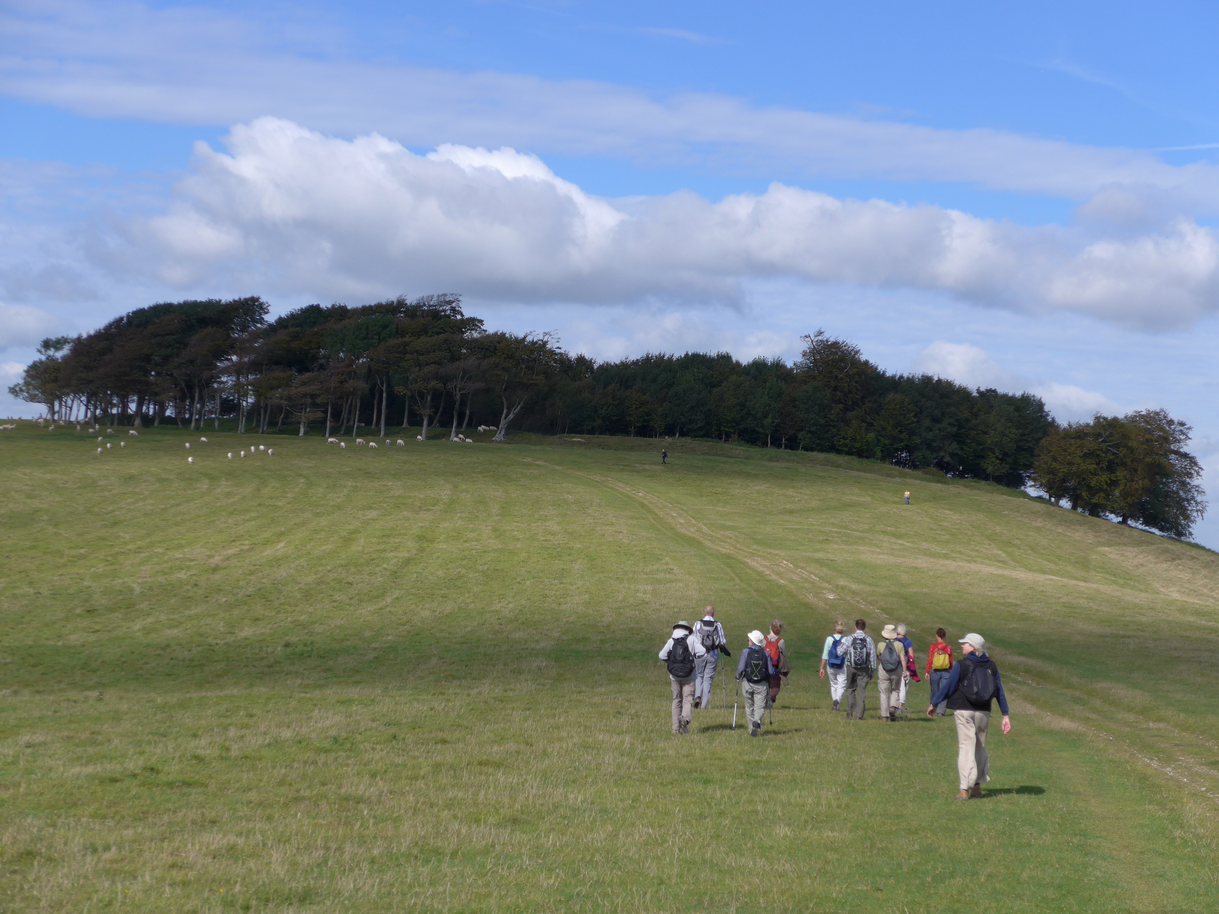
Most of the group wanted to walk 8-9 miles a day. But the geography of the SDW dictates where to start and end walks and in fact segments of that length are hard to arrange. In the event we averaged over 11 miles per walk, with the longest being 13 miles. Not everyone was confident about their ability to walk such distances at the outset but we managed the walks and became stronger as the weeks went by. And towards the end when shorter walks were geographically feasible, the group opted to maintain the longer walks and we completed the 100 miles of the SDW in 9 daywalks instead of the original 10 we had expected. That even allowed us to keep the last stretch (Exceat to Eastbourne)to less than 8 miles as it is quite undulating over the Seven Sisters and we wanted to be sure to arrive in time for our cream tea celebration.
In 2014 and 2015 we completed the walk in eight walks.
When to walk?
The U3A answer has to be ‘while you still can’. You can make up your own minds about when in the year it would be most convenient or most convivial to walk, bearing in mind the likely weather and seasonal conditions you are likely to encounter as various times of the year. Parts of the SDW are quite exposed to wind and rain – particularly as you walk eastwards beyond the more wooded sections of West Sussex. You need to have reliable waterproofs with you on every walk at any time of the year. Or be lucky, as we were.
 Here are some monthly temperatures, sunshine hours, and rainfall patterns (click on the table to enlarge). We paid no attention whatsoever to any of this data and in retrospect it seems we walked in the wettest months of the year in the 2013 autumn and winter that proved to be exceptionally wet. Yet we only got rained on once.

So west to east is best?
So we initially thought. But having now walked it in the other direction in 2014 we found some advantages also in doing it from Eastbourne to Winchester.
While there are as many ups and downs whichever direction you walk, walking in a westerly direction the ups tend to be more gradual and less steep than in the other direction. Some of the steepest climbs on the SDW (up from Amberley to Rackham Hill, the ascent of Chanctonbury Ring from the A24, Old Winchester Hill and Wetherdown) become descents.
The South Downs Way is a fabulous walk with many varied attractions whichever way you walk it. But you can see how we faired in each direction on the 2013 and 2014 walk reports .
In Autumn 2015 we chose to walk it East to West again as the two walks at the Winchester end require an overnight stop and two consecutive days walking. It seems better to allow participants to build up their stamina and enthusiasm for this rather than to commit to it from the very start. East to west also seems to be slightly easier walking. You climb to the top of the same hills but the slopes upwards tend to be more gradual in this direction.